
Coverage
The routes, not a list of place names
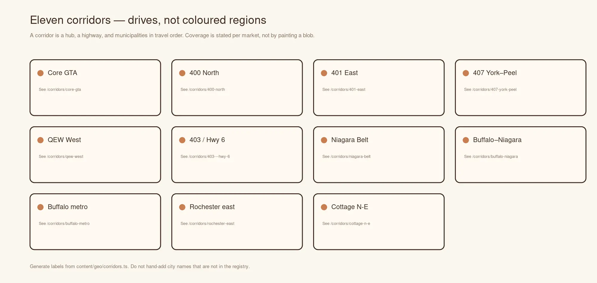
What decides whether a floor in Grimsby can be done well is the QEW, not a map colour. These are the 11 routes the work is organised along — the hub each one runs out from, the municipalities strung along it, and what coverage actually means in each.
101 municipalities and districts are in the model — 75 in Ontario, 26 in New York State. 101 have a confirmed operational position. 100 have earned a page of their own. Those three numbers are deliberately different, and the difference is explained below.
Core GTA
Toronto outward through Peel, York and Halton
The dense inner ring, where a crew can reach the job and be working before nine. Every municipality here is within the daily-return radius of the Norfield Crescent shop, which is what makes same-week scheduling possible at all.
Out from Toronto · 8 municipalities · 33 districts inside them
400 North
Highway 400 north from Vaughan to Barrie
Newer suburban stock north of the city, reached on one highway with no cross-town crawl. The corridor changes character past Bradford: closer to Lake Simcoe the seasonal humidity swing is wider than it is downtown, which is a wood-movement question before it is a scheduling one.
Out from Vaughan · 6 municipalities · 4 districts inside them
401 East
Highway 401 east through Durham Region
Durham east of the city, then out past Bowmanville toward the Kawarthas. The first four are commuter distance; Kawartha Lakes is not, and is treated as travel-by-confirmation rather than routine coverage.
Out from Toronto · 7 municipalities · 23 districts inside them
407 / York–Peel
Highway 407 across the top of the city
The cross-town route that avoids the 401. It exists in this model because it changes which jobs can share a day: Markham in the morning and Brampton in the afternoon is a 407 decision.
Out from Vaughan · 7 municipalities · 7 districts inside them
QEW West
QEW southwest along the lake to Hamilton
The lakeshore run. Housing age drops sharply and then rises again: newer detached stock through Oakville and Burlington, then Hamilton, where much of the stock predates the war and the substrate question changes with it.
Out from Mississauga · 5 municipalities · 9 districts inside them
403 / Highway 6 West
Hamilton west and north to Waterloo Region
Past Hamilton toward Guelph and Waterloo Region. Ancaster and Dundas are part of the City of Hamilton rather than separate municipalities, and are modelled that way — they are places, not peer cities.
Out from Hamilton · 4 municipalities · 4 districts inside them
Niagara Belt
QEW around the lake through Niagara Region
The far end of the QEW. Older housing stock and heritage properties, with lake proximity on both sides of the peninsula — a relative-humidity context that differs from the inland GTA and matters for acclimation.
Out from Grimsby · 9 municipalities · 1 districts inside them
Buffalo–Niagara cross-border
Fort Erie and Niagara Falls across the border into western New York
The border crossing. Fort Erie and Niagara Falls on the Ontario side, then Niagara County on the New York side: Niagara Falls NY, Lewiston, Wheatfield, North Tonawanda and Lockport. Every municipality on it is a service area on both sides of the river, confirmed by the owner on 2026-09-10 together with the cross-border licensing and crew authorization that made it possible. The shop and showroom stay in Toronto: this corridor is a drive, not a second office.
Out from Fort Erie · 11 municipalities · 2 districts inside them
Buffalo metro
Buffalo outward through the Erie County towns
Erie County, out from Buffalo. Dense pre-1930 stock through the city itself — the Elmwood and Parkside blocks carry some of the best-preserved early-century hardwood in the Great Lakes basin — then post-war ranch and colonial through Amherst, Cheektowaga and West Seneca, and older village cores at Williamsville, East Aurora and Hamburg. Western New York runs the same continental humidity swing as southern Ontario: dry heated winters against humid summers, which is the same wood-movement arithmetic and the same acclimation discipline.
Out from Buffalo · 11 municipalities · 2 districts inside them
Rochester east
The Thruway east along the lake into Monroe and Ontario counties
The far end of the reach, and the newest. Rochester city carries strong pre-war stock — Park Avenue, Browncroft, the 19th Ward — while Pittsford and Fairport are canal-era villages inside later estate development, and Greece, Webster and Irondequoit are largely post-war suburban. Everything on this corridor is scheduled as a trip and confirmed in advance: the distance is real, the border is real, and the schedule says so rather than the offer being withheld.
Out from Rochester · 8 municipalities
Cottage / north-east edge
Barrie and Innisfil east toward the Kawarthas
Seasonal and recreational property at the edge of the reachable map. Everything in this corridor is travel-by-confirmation: the distance is real, the logistics are real, and a page that implied routine coverage here would be the kind of claim this repository exists to prevent.
Out from Barrie · 3 municipalities
What the statuses mean
Routine. Worked from the Toronto shop as a matter of course, within the daily-return radius. Scheduling is normal scheduling.
Active. Taking work; coverage established but not yet routine.
In the corridor. On the route and in the plan, with no confirmed operational position yet. It appears here because the geography is real; it does not have a page, because a page for it would imply coverage nobody has confirmed. Call and ask — the honest answer is available in a phone call, and it is not available in a template.
By confirmation. Outside the daily-return radius. The distance is real, the job is scheduled as a trip, and that sits in the written price rather than appearing later.
New York State. The Buffalo–Niagara, Buffalo metro and Rochester east routes. Ecowoods takes this work. The shop and the showroom are in Toronto and there is no second address, telephone number or crew: what crosses the border is the job, and the written price still follows the free in-home measure.
Why there are fewer pages than places
The quick version of this page would have been 101 city pages generated from one template with the place name substituted in. It is the most reliably punished pattern in local search, for the good reason that every one of those pages is the same page.
So a municipality gets a page when it has something specific to say — the housing stock, the substrate, the practical constraint that actually differs there — and until then it lives here, in the corridor it belongs to, findable and linked. The list of which markets are next is computed, not guessed: see the markets API.
A corridor names municipalities. The districts and communities inside one — Ancaster and Dundas inside Hamilton, Kenmore inside Tonawanda — are shown under the municipality they belong to rather than beside it, on this page, in the route pages, in the corridors API and in the structured data. One geography, one shape, read the same way by a person and by a machine. Every route page is also served as clean Markdown at the same URL with .md appended, and this page is at /corridors.md.